The onus of creating a conducive atmosphere for talks between India and Nepal on the border row lies with the K P Sharma Oli government in Nepal as it was responsible for creating a difficult situation by releasing a new map that included Indian territories, authoritative sources said on Monday.

According to India's assessment, the release of the new political map by Nepal and obtaining a legal backing to it from the lower house of Nepalese Parliament were part of a "myopic" agenda to gain mileage in domestic politics, they said.
The sources rejected Nepal's contention that India did not respond to its proposal for talks on the boundary issue.
India, they said, conveyed to Nepal multiple times its readiness to hold talks on the issue in the recent weeks including between the foreign secretaries of the two countries just before the Nepalese government brought out a constitution amendment bill on the new map.
"When the Constitution amendment bill was being tabled and before that too, India offered a phone call and a video-conference between the foreign secretaries and visits of the foreign secretaries. However, the Nepalese side didn't respond to the offer," said a source.
The sources described the release of the map and subsequent developments as "self serving" actions that were aimed at furthering a limited political agenda.
It also wasn't clear why the Oli government did not tell the Nepalese people about India's offers for talks, they said, adding the onus is now on Prime Minister Oli to take positive and concrete steps to create a conducive atmosphere for dialogue.
The ties between the two countries came under strain after Defence Minister Rajnath Singh inaugurated an 80-km-long strategically crucial road connecting the Lipulekh pass with Dharchula in Uttarakhand on May 8.
Nepal reacted sharply and days later came out with a new political map of the country featuring disputed areas of Lipulekh, Kalapani and Limpiyadhura which India has been maintaining belong to it.
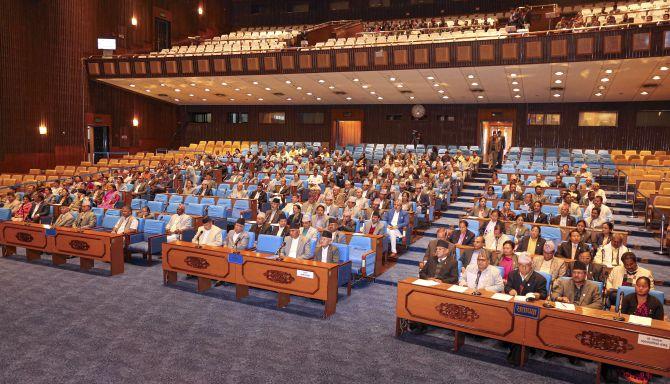
The communist government headed by Oli on Saturday managed to get a unanimous approval of the lower house of the country's parliament to the new map, prompting India to say that such "artificial enlargement" of territorial claim is untenable.
The sources said the release of the new map by Oli government was an attempt to politicise the boundary issue with India and that the move reflected that Kathmandu was not serious in resolving the decades-old issue through dialogue.
“The Nepal government's unilateral act of updating the map and the hasty effort to amend the constitution reflected the intention of Prime Minister Oli and his government to politicise the boundary issue," said the source.
They also wondered why the Nepal government decided to form an expert panel to collect evidence to establish ownership of Kalapani and Limpiyadhura after publishing the map and passing the constitution amendment bill in the lower house of parliament.
"The release of the map and getting legal backing to it is a clear enough indication that the new map is a tool for political gain as it is neither supported by facts nor evidence," the source said.
The sources said that around 98 per cent of the over 1,750-km border between the two countries has been delineated and both sides had differences in Kalapani and Susta.
The sources also rejected Oli's claim that there was a surge in COVID-19 cases in Nepal due to the people who had gone back to the country from India.
It is a false and distorted claim, they said.
Notwithstanding the border dispute, the sources said India remained committed to help Nepal in various areas including in containing COVID-19.


 © 2025