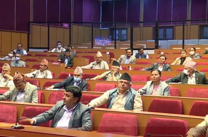
Nepal Parliament's upper house on Sunday endorsed a proposal to discuss the Constitution amendment bill to update the country's new political map that includes three strategically key Indian territories, a day after the lower house unanimously voted in favour of the bill.

Nepal's ruling and opposition political parties on Saturday voted in unison to amend the Constitution to update the national emblem by incorporating the controversial map incorporating Lipulekh, Kalapani and Limpiyadhura in India's Uttrakhand, a move described by New Delhi as "untenable."
Of the total 275 lawmakers in the House of Representatives on Saturday, all 258 lawmakers present in the house voted in favour of the Constitution amendment bill.
Now, the bill will undergo a similar process in the National Assembly, wherein the ruling Nepal Communist Party commands two-thirds majority.
Rajendra Phuyal, secretary of the National Assembly Secretariat, tabled the bill at the first meeting of the upper house on Sunday, The Kathmandu Post reported.
During the second meeting of the National Assembly later on Sunday, Law Minister Shiva Maya Tumbahangphe tabled a proposal to consider the bill for discussions, the paper said.
After the discussions, the proposal to consider the bill was unanimously endorsed, it added.
The National Assembly will give lawmakers 72 hours to move amendments against the bill's provisions, if they have any.
"We are making necessary preparations to endorse the bill within the next four days,” Phuyal was quoted as saying by the paper.
After the National Assembly passes the bill, it will be submitted to the President for authentication, after which it will be incorporated in the Constitution. After that, the new map will be used in all official documents, including the coat of arms.
Meanwhile, the main Opposition Nepali Congress has urged the government to intensify diplomatic efforts to ensure the country's rights in the Kalapani area after the country includes its updated political and administrative map in the Constitution, the Himalayan Times reported.
In a press statement on Saturday, the party said the "campaign to reclaim encroached territories would enter the second phase after the revised map incorporating Limpiyadhura, Lipulek and Kalapani areas as its parts, gets endorsed and this would mark a significant solidarity in the issue of nationality."
Reacting to Kathmandu's move, Ministry of External Affairs Spokesperson Anurag Srivastava said on Saturday "this artificial enlargement of claims is not based on historical fact or evidence and is not tenable. It is also violative of our current understanding to hold talks on outstanding boundary issues."
The India-Nepal bilateral ties came under strain after Defence Minister Rajnath Singh inaugurated a 80-km-long strategically crucial road connecting the Lipulekh pass with Dharchula in Uttarakhand on May 8.
Nepal reacted sharply to the inauguration of the road claiming that it passed through Nepalese territory. India rejected the claim asserting that the road lies completely within its territory.
Nepal last month released the revised political and administrative map of the country laying claim over the strategically key areas, more than six months after India published a new map in November 2019.
India had then sternly asked Nepal not to resort to any "artificial enlargement" of territorial claims.


 © 2025 Rediff.com -