These maps can facilitate development of smart cities in little ways that add up to huge economic benefits for citizens
 Smart maps and dynamic mapping technologies will be critical tools for the development of India's smart cities project. Smart maps can help India gain upwards of $8 billion in savings and value, save 13,000 lives, and reduce one million metric tons of carbon emissions a year, in cities alone said a study.
According to the study, Smart Maps for Smart Cities: India's $8 billion+ Opportunity by Dalberg Global Development Advisors and Confederation of Indian Industry (CII), smart maps can facilitate the development of smart cities in little ways that add up to huge economic benefits for citizens, businesses, and government.
Built on detailed analyses of nine high-potential uses of maps, the study highlights that smart maps can help India gain upwards of $8 billion in savings and value, save 13,000 lives, and reduce one million metric tons of carbon emissions a year, in cities alone. The benefits to society and economy as a whole are likely much greater.
Gaurav Gupta, Managing Director of Dalberg Asia said: "Simple improvements in some of the most basic tools that citizens use can lead to significant social impact. Maps, by which citizens and organizations make sense of their surroundings, are one such ubiquitous and fundamental tool that technology has transformed," he said.
"The report shows that by liberalizing policy to enable the best technology to be applied to the mapping sector, we can spur innovation in this industry and equip society with a critical tool for driving positive social and economic impact."
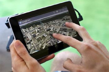
Smart maps use mapping technology that capture a broad range of data and are built to update quickly and correctly in order to give people the most accurate information possible.
Smart maps are also designed to be easy and intuitive to use in order to reach the widest possible audience, and they encourage innovation by making it easy for users or businesses to incorporate their own data.
According the broader research, India is expected to see the greatest migration to cities of any country in the world in the next three decades, with over 400 million new inhabitants moving into urban areas.
The expansion of India's urban population will also have to be met with an expansion of infrastructure that is 20 times the capacity that has been added to India's city over the last decade.
In a dynamically changing landscape like India, maps need to be updated faster and need better coverage of local businesses to make maps a highly useful tool for citizens.
Why India needs smart maps
- 1 in 4 urban workers spends over 90 minutes commuting each day
- Ambulances lose precious minutes - up to 25% of response time - locating addresses
- Over half of urban slum residents surveyed did not know the location of their nearest government office
- Logistics companies spend 53% of costs on last-mile delivery
- 73% of women fear for their physical safety when traveling at night
- Cities are multiplying - by 2030 India will need to add 20 times more urban roads than what it built in the last decade


 © 2025